


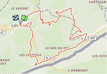

13.3 km | 19 km-effort

User


FREE GPS app for hiking
 SityTrail
IGN / Geographical institutes
SityTrail World
The world is yours!
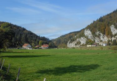
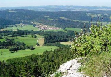
Trail Walking of 14 km to be discovered at Bourgogne-Franche-Comté, Doubs, Les Gras. This trail is proposed by eltonnermou.
parking : centre du village devant la poste ; randonnée en groupe.
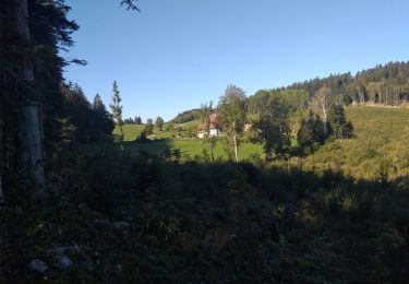
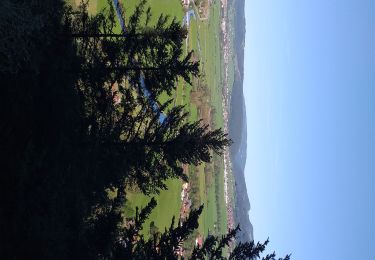
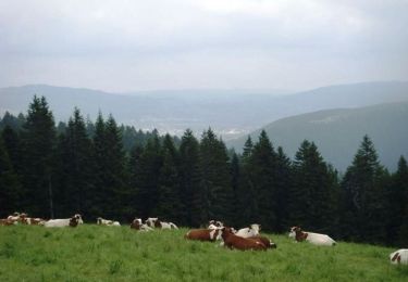
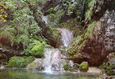
Très, très belle randonnée essentiellement en de magnifiques sous bois, avec des beaux points de vue sur le val de Morteau, des Gras ; sur les monts de la Suisse et du haut-doubs ; des passages en montée un peu plus engageants (bâtons fortement conseillés). La vue des marmites et de la cascade constitue une belle découverte.
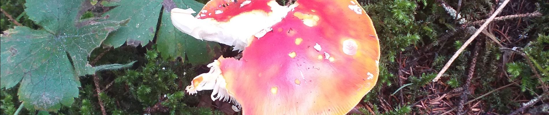
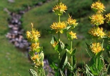
Et comme dans de tels paysages, laissez vous surprendre par la faune et la flore.


Walking
Walking
Walking
Walking
Walking
Walking
Mountain bike

Other activity

Walking